
Data for Decision
The Geographic Information System of the Directorate of Regional Planning Information Systems for the Canada Land Inventory of ARDA
0.0(0 votes)
1968
0h 23m
Documentary
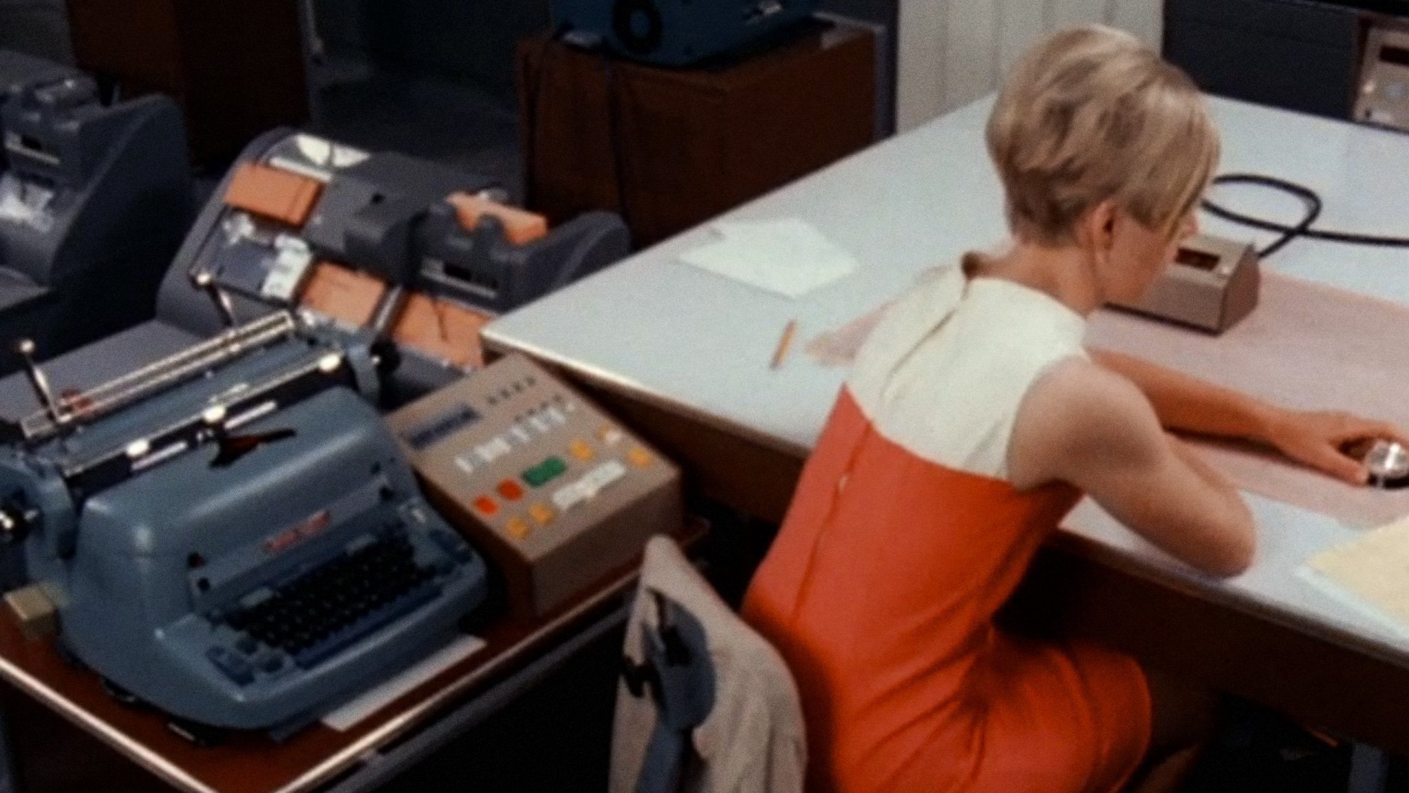
Portrait of the early era of computing which examines the workings of a new and mysterious machine: the Canada Land Inventory Geo-information System. This "instant library" was created to help assess and document the geographical landscape, including sampling and analysis of soil, forestry, timber, wildlife, resources, industrial sites, and many other aspects.
Production
ONF | NFB
Cast

Richard Gilbert
Self - Narrator (voice)
More Like This